Home
TECO-2026
Visit
Register
Why Visit?
TECO-26 Preliminary Programme
WMO TECO-26 Overview
2025 Photo Gallery
Travel & Accommodation
Visa Requirements
2026 Exhibitor List
Exhibit
Why Exhibit?
Book a Stand/Request a Floorplan
Exhibitor Interviews
Exhibitor Warning
Ezone
News
Show News
Magazine
Contact
Contact Us
FAQs
Search
REGISTER
BOOK A STAND
MENU
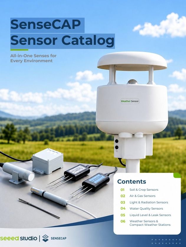
Exhibitor Brochures
Loading
1
2
3
Sponsors
Gold Sponsor
Gold Sponsor
Silver Sponsor
Silver Sponsor
Silver Sponsor
Partners
Media Partner
Search
Search
Username *
Password *
Login
)
)
)
)
)
)
)
)
)